In the field of architecture, design visualization plays a crucial role in bringing ideas to life and aiding in the decision-making process. Traditional methods, such as drawings and physical models, have long been used to represent architectural designs. However, with the advent of drone technology, architects now have a powerful tool at their disposal to revolutionize design visualization.
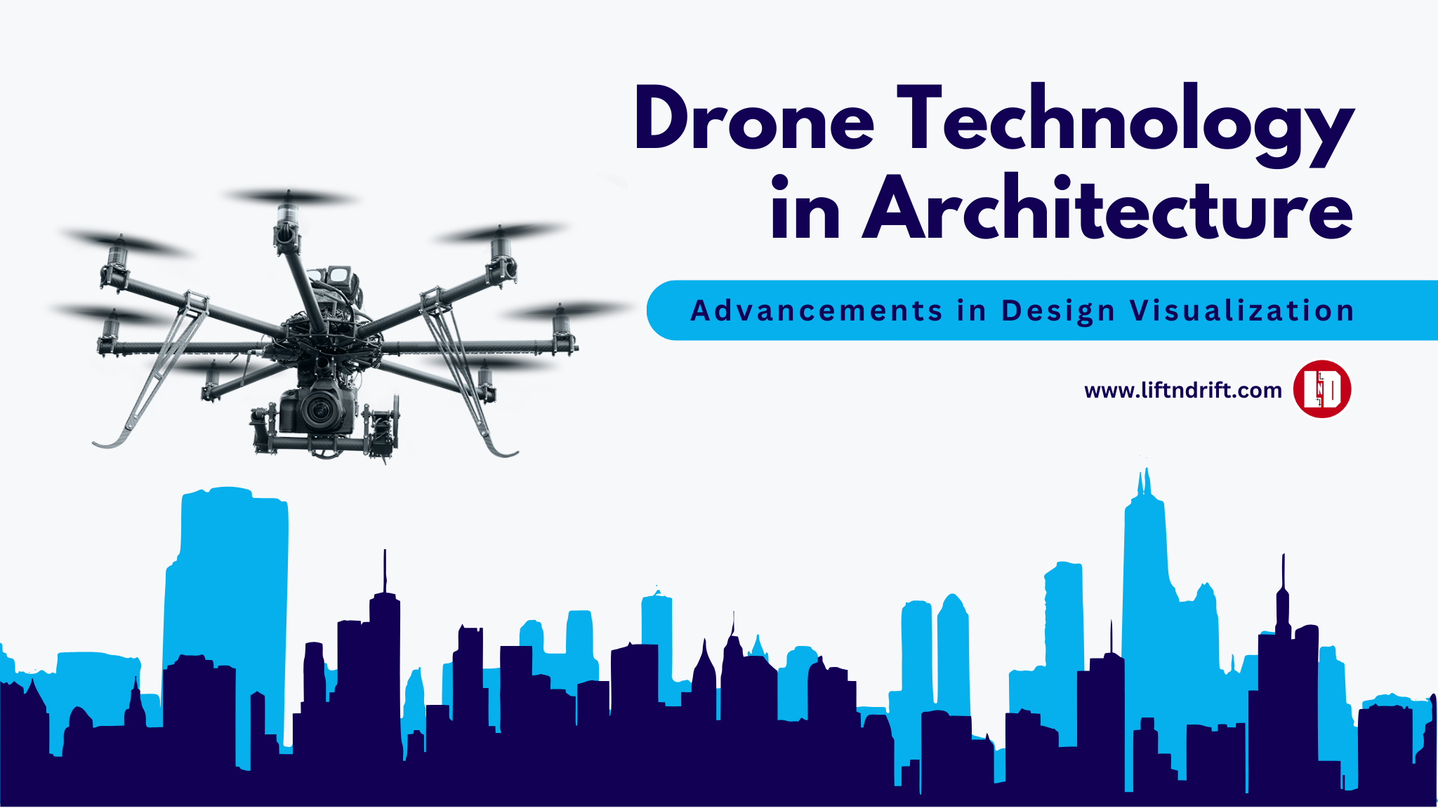
Advancements in Design Visualization
Drones, also known as unmanned aerial vehicles (UAVs), have gained immense popularity in recent years due to their versatility and accessibility. These small, remote-controlled aircraft have proven to be an invaluable asset for architects and designers, offering a unique perspective and enhancing the visualization process. Let’s explore some of the key advancements in design visualization brought about by drone technology.
1. Aerial Surveys and Site Analysis
Drones equipped with high-resolution cameras allow architects to capture detailed aerial images and videos of construction sites. This capability enables accurate topographic mapping, 3D modeling, and site analysis, providing architects with essential data to inform their design decisions. By surveying the site from above, architects gain a comprehensive understanding of the terrain, surrounding environment, and potential challenges, leading to more informed and contextually sensitive designs.
2. Real-Time Visualization
Gone are the days of relying solely on static renderings and computer-generated visualizations. Drones equipped with live streaming capabilities allow architects to view their designs in real-time from various angles. This dynamic visualization offers a more immersive experience, enabling architects to assess the design’s scale, proportions, and overall impact on the surrounding environment. Real-time visualization also facilitates effective communication with clients and stakeholders, as they can witness the project’s evolution firsthand.
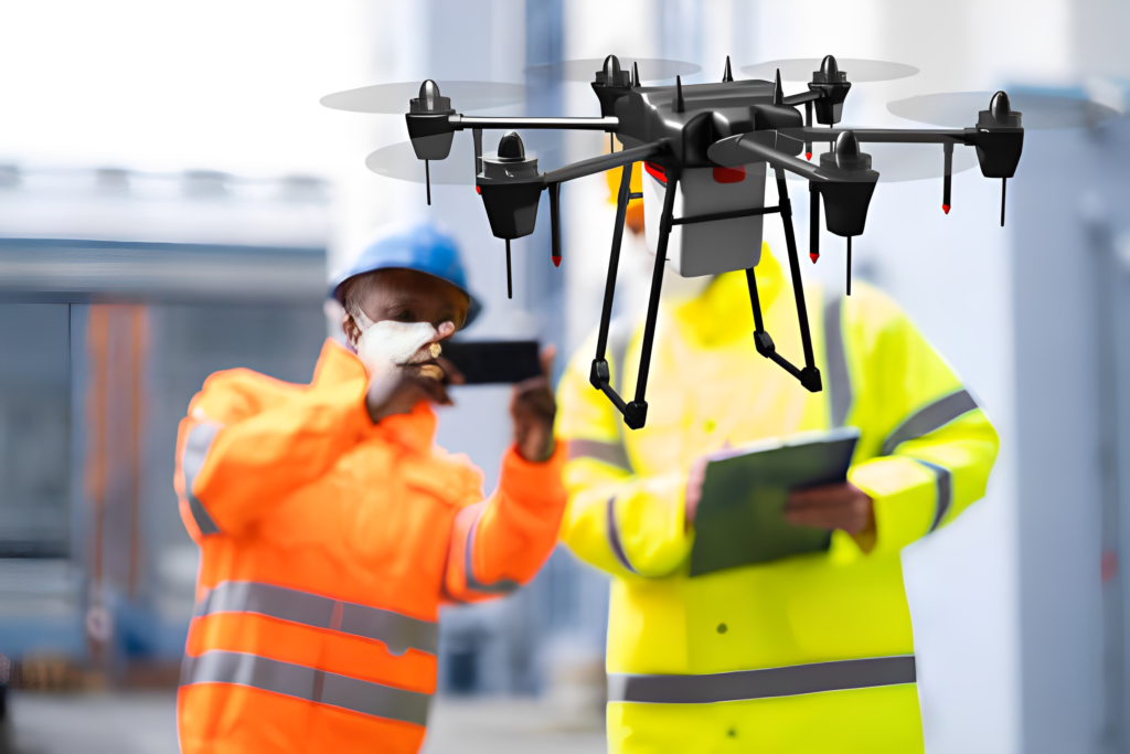
3. Enhanced Safety and Inspection
Drone technology has revolutionized safety protocols and inspection processes in architecture. Drones equipped with thermal cameras and sensors can efficiently identify structural issues, detect heat leaks, and assess the overall health of buildings. This non-intrusive method minimizes risks associated with manual inspections, especially in hazardous or hard-to-reach areas. By leveraging drone technology for inspections, architects can ensure structural integrity and address maintenance concerns proactively.
4. Construction Monitoring and Progress Tracking
Monitoring construction progress is a critical aspect of architectural projects. Drones equipped with high-resolution cameras can capture detailed images and videos of construction sites at regular intervals. Architects can then analyze these visual records to track progress, identify discrepancies, and make informed decisions regarding the project’s timeline and resource allocation. Drone-based construction monitoring enhances transparency, minimizes delays, and improves overall project management.
FAQs
Drones offer a unique perspective by capturing aerial images and videos of construction sites, aiding in topographic mapping, 3D modeling, and site analysis. They also provide real-time visualization, enabling architects to assess the design’s scale and impact, and facilitate effective communication with clients.
Absolutely! Drones equipped with thermal cameras and sensors can efficiently inspect buildings, identifying structural issues, detecting heat leaks, and assessing overall building health. This method minimizes risks associated with manual inspections and allows architects to address maintenance concerns proactively.
Drones capture detailed images and videos of construction sites at regular intervals, allowing architects to monitor progress, identify discrepancies, and make informed decisions regarding the project’s timeline and resource allocation. Drone-based construction monitoring enhances transparency and improves project management.
Drone technology has ushered in a new era of design visualization in the field of architecture. With the ability to capture aerial imagery, provide real-time visualization, enhance safety inspections, and enable construction monitoring, drones have become indispensable tools for architects. These advancements not only improve the accuracy and efficiency of the design process but also enhance communication with clients and stakeholders. As drone technology continues to evolve, architects can expect even more innovative applications that push the boundaries of design visualization in architecture.
For more information on how to make paper airplanes, explore the following links:
- How to Make a Paper Airplane that Flies Far
- Building the Best Paper Airplane Design for Distance
- The Best Paper Airplane for Distance and Speed that Anyone Can Make
- Paper Airplane Designs for Distance and Accuracy
- Paper Airplane Templates: Free Printable Paper Craft Templates
Remember, drone technology is not only transforming the architectural landscape but also allowing enthusiasts to explore the fascinating world of paper airplanes. So, whether you’re an architect seeking innovative visualization methods or simply a paper airplane enthusiast, embrace the possibilities that drone technology brings to the realm of design visualization in architecture. Happy flying!