

Disclaimer: This blog post explores the crucial role of drones in disaster management, focusing on their rapid response capabilities and their potential for damage assessment. In the context of this article, we will not be discussing paper airplanes or paper airplane designs, even though they are fascinating topics. The purpose of this post is to shed light on the benefits of drones in disaster scenarios.
Introduction
In recent years, advancements in technology have revolutionized disaster management practices worldwide. Among these breakthroughs, unmanned aerial vehicles (UAVs) or drones have emerged as invaluable assets in rapid response and damage assessment during natural and man-made calamities. Drones have proven to be more than just remote-controlled toys; they have become powerful tools that can save lives and minimize the impact of disasters. In this blog post, we will delve into the vital role that drones play in disaster management, highlighting their significance in quick response and damage evaluation.
The Swift Response of Drones
Aerial Eyes on the Scene
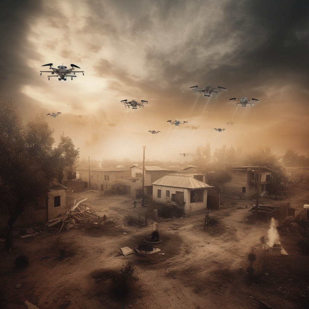
When disaster strikes, time becomes a critical factor in ensuring effective response and rescue operations. Traditional methods of surveying disaster areas can be time-consuming and may put human lives at risk. This is where drones shine brightly as they offer a swift aerial view of the affected area. Equipped with high-resolution cameras and sensors, these unmanned aircraft can rapidly provide real-time footage, enabling emergency responders to make informed decisions promptly.
Mobility and Accessibility
Unlike conventional aircraft, drones are highly mobile and can reach areas that are challenging to access by ground personnel. Whether it’s a flooded region, a collapsed building, or a wildfire-ravaged landscape, drones can maneuver through tight spaces and difficult terrains, giving disaster management teams a comprehensive understanding of the situation.
Efficient Resource Allocation
In disaster scenarios, resources such as medical supplies, food, and water need to be allocated efficiently. Drones play a significant role in optimizing this process by identifying critical areas and guiding the distribution of aid where it is most needed. This targeted approach ensures that resources are utilized effectively, enhancing the overall response efforts.
Damage Assessment with Drones
Aerial Surveys for Evaluation
In the aftermath of a disaster, assessing the extent of damage is crucial for effective recovery and reconstruction. Drones equipped with advanced imaging and LIDAR technologies can conduct detailed aerial surveys. These surveys generate precise 3D models and maps, helping authorities to comprehend the impact of the disaster accurately.
Remote Inspection of Infrastructure
Inspecting damaged infrastructure, such as buildings, bridges, and power lines, can be hazardous for ground personnel. By using drones for remote inspection, disaster management teams can maintain a safe distance while still gathering essential data. This not only ensures the safety of responders but also expedites the assessment process.
Data-Driven Decision Making
Data obtained from drone surveys provide valuable insights for decision-making. From identifying areas prone to secondary hazards like landslides or aftershocks to assessing the structural integrity of buildings, drones offer real-time data that supports informed decision-making, leading to more effective disaster response.
Frequently Asked Questions (FAQs)
Drones aid in disaster management by providing rapid aerial views of affected areas, helping with resource allocation, and conducting damage assessment through detailed surveys.
Yes, drones are highly mobile and can access difficult terrains, making them invaluable tools for reaching areas inaccessible by ground personnel.
Drones use advanced imaging, LIDAR, and other sensor technologies for detailed damage assessment and generating 3D models of disaster-affected areas.
Drones have undoubtedly emerged as game-changers in disaster management, offering swift response capabilities and efficient damage assessment. Their ability to provide real-time aerial views and collect valuable data has revolutionized disaster response practices worldwide. As technology continues to evolve, we can expect drones to become even more effective and play an increasingly critical role in saving lives and minimizing the impact of disasters.
By now, you might be wondering how paper airplanes fit into this discussion. While paper airplanes are fascinating, they are not directly related to disaster management. However, if you’re interested in paper airplane designs and flight science, you can explore them at Liftndrift, a website dedicated to all things best paper airplanes!